The British Commonwealth Air Training Plan saw more than 131,000 Second World War Canadian and Allied aircrew trained at nearly 200 establishments located in almost 150 communities across Canada. There’s a list of locations by province here.
In the Ottawa area locals are aware of flight facilities at Uplands, Rockcliffe and Carp that were used and are still operational airports. There were also relief landing fields including Edwards, Ontario – Relief for No. 2 SFTS Ottawa (Uplands) at 45° 18′ 12″ N 075° 28′ 00″ W.
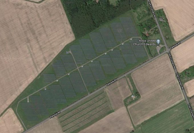
Turning to Google Maps to find out what’s there now?
 The level ground is ideal for a solar farm. According to this article, the 60,000 solar panels installed on 100-acres in 2012 have a maximum capacity of 10 MWAC, enough to power about 3,000 homes.
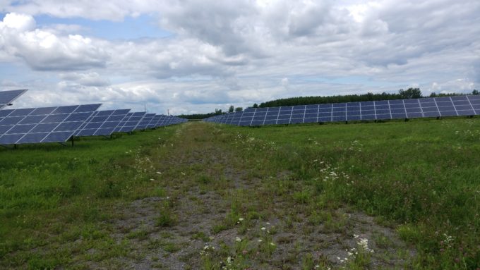
Up close the array is impressive — and environmentally friendly. Monarch butterflies were outside the boundary fence when I visited.

A 2017 study for the City of Ottawa identified three other solar farms in the area: Arnprior (20 MWAC ), Burritts Rapids (7 MWAC), and Greely (10 MWAC). It suggested 0.5% of the area of Ottawa, the equivalent to 23 eighteen-hole golf courses, could be allotted with the ability to host 580 MWAC of generation.
The challenge of climate change is as big as that of the World Wars and may well require as significant a change in society.

