
 A new interactive map from Historic England allows you to search and explore historical aerial imagery of England captured over the last 100 years. The Aerial Photograph Explorer map includes over 400,000 digitized photos from Historic England’s aerial photo collections.
Careful. This is a mega rabbit hole
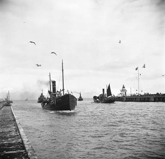
COMMENT: At the same site are a collection of photos taken from ground level. I was happy to find this image of the mouth of the River Yare in 1947 showing the parade of herring drifters in and out as I remember them.
I can see me losing myself at that site for hours!
Oh yeah. The coverage varies greatly, as do the age of the pics. Cheers, BT
That was fun but I spent WAY too much time there!