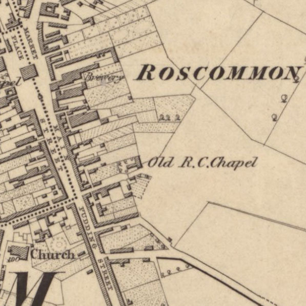
 The National Library of Scotland calls the newly available online Ordnance Survey Maps – Six-Inch Ireland, 1829-1969 “the most comprehensive topographic mapping covering all of Ireland and Northern Ireland from the 1820s to the 1960s.”
https://maps.nls.uk/os/6inch-ireland/


Yaaaayyy!!! Off to have a boo!