
The National Library of Scotland has made available online a series of six-inch England and Wales, Special Emergency Edition maps from the Ordnance Survey printed in 1939.
They are for areas in Cheshire, Durham, Flintshire, Northumberland, Shropshire and Staffordshire.
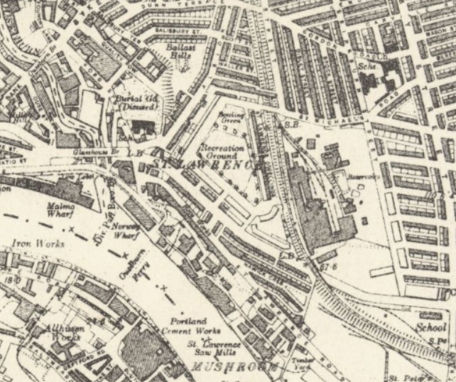 Printed in black and white, as explained by the NLS “Many sheets therefore show landscape detail which reflects much earlier revision in ca. 1900-25, juxtaposed with some building developments and roads which were very recent in 1939.”
Bragging rights to anyone who can figure out the location of the extract above!
The Charles Close Society for the Study of Ordnance Survey Maps, the NLS’s source for these maps, has a cornucopia of resources, including links to a wide variety of online maps.
My husband’s great-uncle Canon Frederick George Goddard was vicar at the Clayton Memorial Church at Jesmond from 1927 to just before his death in 1947. That’s the Ouse Burn, isn’t it, in Newcastle Upon Tyne, and I’m guessing that “Malmo Dock” is what is now called “Malmo Quay” these days.